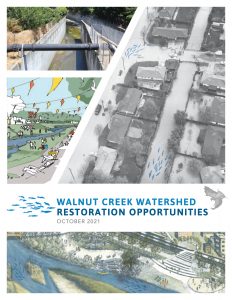
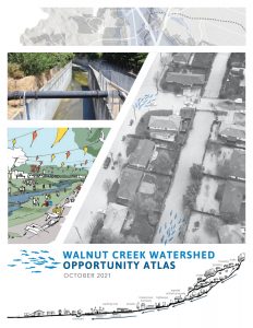
The vision of the Fifty-Year Plan — as adopted by Contra Costa County in 2009 — transforms the problem of aging flood infrastructure into an opportunity to restore creek corridors for multiple benefits.
Revitalized ecosystems offer value to society. Through restoration, riparian corridors can form public greenways that address rising flood risk while offering more benefits to more people.
Replace Aging Flood Infrastructure or Restore Riparian Corridors?
Throughout California, concrete channels allowed cities and suburbs to develop and prosper in flood-prone valleys, often up to the channel’s edge. Built in the 1950's onward, hardened flood infrastructure will need replacement in the next fifty years.
Today, concrete channels are locked in place, surrounded by development and increasingly prone to failure as individual components degrade. In 2009, the Contra Costa County Flood Control and Water Conservation District proposed a "Fifty-Year Plan" to restore rather than replace aging concrete channels.
Realizing the Social + Ecological Potential of Creeks in Walnut Creek Watershed
Riverlab's research explores the social and ecological potential for reviving altered channels as multi-benefit, community-serving creek corridors in Walnut Creek Watershed. We developed geospatial analyses to understand and identify opportunities and constraints to restoring altered channels and expanding riparian corridors in Walnut Creek's watershed.
Our report and atlas are two outcomes of this analysis. To download, click on report images above.
Walnut Creek Watershed Opportunity Analysis
- October 2021, Walnut Creek Watershed Opportunity Analysis: Realizing the social and ecological potential of creeks and riparian corridors.
- October 2021, Walnut Creek Watershed Opportunity Atlas
- A. Methods and Data Sources
- A1. Restoration Suitability Ranking Methods and Data Sources
- A2. Walnut Creek Restored Channel Width Analysis
- A3. GIS Data (112 MB .zip) and metadata
- A4. ArcPy Scripts (12 kB .zip)
- B. Grayson Creek Subwatershed Results
- B1. Watershed Forum Survey Results, 2017
- B2. Watershed Forum Presentation, Grayson Creek, 2017
- B3. Grayson Creek Watershed Infiltration Suitability Mapping
- B4. Grayson Creek Watershed Restoration Opportunity Analysis
- B5. Environmental Planning Graduate Studio Presentations + Reports, 2016-17
- C. Communication Strategies
- C1. Communication Strategy
- C2. Stakeholder Analysis
- C3. Expert Interview Summary
- C4. Watershed Green Infrastructure Interview Summary
- C5. Brochure Draft
- D. Land Use and Policy Strategies
- D1. Regulatory and Planning Integration
- D2. Land Use Measures to Support Watershed Restoration
- D3. Land Use and Sales Tax Revenue
- D4. Model Ordinances to Support the Fifty-Year Plan (.zip of model ordinance library)
- E. Precedent Studies
- E1. Precedent Study
- E2. Precedent References and Photos (.zip file, organized by project)
- F. Literature Reviews and Bibliographies
- F1. Restoration Benefits Literature Review
- G. Future Research Initiatives
- H. Project Graphics (.zip file)


