US dams are filling with sediment much faster than most people realize. The result is that reservoir storage capacity is being depleted, threatening long-term sustainability of irrigated agriculture and municipal water supplies. There are techniques that can be used to extend the life of reservoirs, but these are rarely implemented. In a paper just published in Journal of Hydrology, Tim Randle and colleagues explain that we need a new paradigm to guide our management of these important components of our national infrastructure. You can access the paper here.
Category: News
In process-based restoration, the objective is not to create a complex river form directly; instead, interventions are intended to “prompt” the natural processes to restore such forms. The improvements in ecological conditions are actually made over time by flowing water during floods (using the stream’s energy), and by the growth of riparian vegetation (using incoming solar energy). On the Aire River in Geneva, ecological function was restored to a formerly canalized river by providing the river with an espace de liberté. A grid of channels cut into the valley bottom allowed the river to freely flood, erode its bed and banks, and deposit bars, creating complex surfaces on which riparian vegetation established to support the food web of the riverine ecosystem. The diamond-shaped bits of land left between these channels (“lozenges”) gradually erode and evolve as the river migrates, creating complex channel forms. The Isar River in Munich restoration involved adding coarse sediment load, creating erodible bed and banks in place of formerly rigid boundaries, expanding process space for river migration, erosion, and deposition, and increased human access to the river over 8 km. Since restoration, natural transport of sediment has resulted in deposition of gravel bars, whose forms evolve during floods, supporting diverse habitats. The Isar and Aire Rivers provide compelling examples of process-based restoration meeting 4 criteria for process-based restoration: space, energy, materials, and time. They demonstrate the possibilities of urban river restoration to achieve both ecological and social goals through restoration of fluvial process. The paper is available under open access here.
The Symposium was held online on December 10th this year and featured a keynote talk by Brian Cluer and presentations of graduate student research. More than 130 participants attended the event. For more information, check out our symposium webpage!
More and more projects bill themselves as ‘process-based’. What distinguishes a real process-based project? Damion Ciotti and co-authors provide a concise summary in their new paper, ‘Design Criteria for Process-Based Restoration of Fluvial Systems’. The paper is freely available online from the journal Bioscience.
Rivers carry not only water, but also sediment. Yet sediment has been largely neglected in many studies of river history, and in current management plans. Profs Giacomo Parrinello and Matt Kondolf review how sediment has been treated (or ignored) by scholars in this introduction to a special issue in the journal Water History.
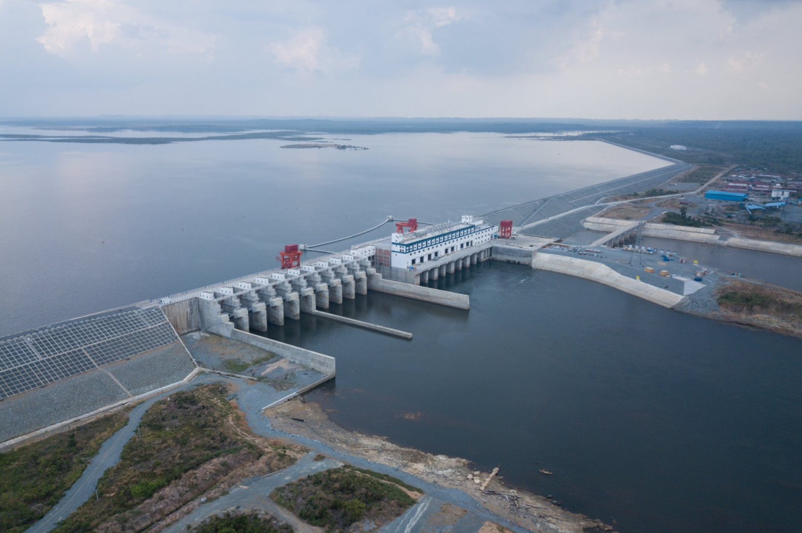
Riverlab is supporting the ongoing effort to remove four hydroelectric dams on the Klamath River, building on research conducted by Mark Tompkins and Matt Kondolf over a decade ago. An agreement among Tribes, NGOs, local stakeholders, the states of California and Oregon, and importantly, the owner of the dams, has paved the way for removing the dams starting in 2023, as reflected in this recent CBS News report. It will be the largest dam removal in the country and promises to benefit salmon runs in the river, which have been reduced by impacts of the dams and land use in the basin.
Tonle Sap Lake is unique in its ecological and cultural importance. In the rainy season, water flows upstream from the Mekong River to swell the lake to 4 times its dry-season extent, creating extensive shallow water habitat for fish. When the lake drains back to the Mekong through the Tonle Sap River, it creates one of the greatest fishing grounds of the world, providing protein to millions of people. Research by former Riverlab/Fulbright visiting scholar Chantha Oeurng and his student Ty Sok demonstrates evolving flow and sediment relations between the lake and the Mekong River. The just-published paper, Assessment of Suspended Sediment Load Variability in the Tonle Sap and Lower Mekong Rivers, Cambodia, is available for free download until late May from Catena here.
Two Riverlab researchers (Rafael Schmitt and Matt Kondolf) and two Italian colleagues (Simone Bizzi and Andrea Castelletti) have been awarded the 2021 Aspen Institute Italia Award for their joint research on “Improved trade-offs of hydropower and sand connectivity by strategic dam planning in the Mekong” [1]. The scientists are working on this ongoing effort to reduce impacts of the global clean energy transition on rivers and livelihoods.
Building future green economy poses great economic and technical challenge for societies, in part because of the often-overlooked externalities of technology and infrastructure on people and the environment. In their research, the scientists used the example of hydropower development to demonstrate need and opportunity to resolve such conflicts through strategic spatial planning. Hydropower is a well-proven and cost-effective way to generate renewable energy. At the same time, dams can have catastrophic impacts on people’s livelihoods and the fundamental processes that underpin healthy rivers. Thus, there is great concern about the environmental impacts of future dams, mostly planned to energize socio-economic development in the global south.
The winning research demonstrated that strategic placement of dams, considering for the spatial heterogeneity of natural processes in rivers and the cumulative impacts of multiple dams, can greatly reduce dam impacts without compromising on energy generation and energy costs. That finding was derived by combining a novel computer model for evaluating large scale impacts of dams on rivers with state-of-the art tools for decision analysis. The study was based on the example of the Mekong River in South East Asia, where a massive hydropower development occurred in the recent past, and more development is foreseen in the near future. Results show that existing dams, exploiting around 50 % of the basin’s hydropower potential, have major impacts on the biophysical functioning of the studied rivers. The key finding of the study is that the same amount of hydropower could have been generated with much smaller impacts if dam sites would have been selected strategically such as to reduce their cumulative impacts.
While the results were derived for the Mekong River, the findings
have broad implications for renewable water and energy systems world-wide.
Globally, increasing conflicts between infrastructure and natural systems are
inevitable: Other forms of renewable energy create environmental impacts, more
water infrastructure will be required to meet domestic and agricultural water
demands, and industrialized countries must soon review their aging
infrastructure portfolios. In this context, strategic decision making, which
balances economic and ecosystem needs is crucial for an ecologic transition to
water and energy systems with minimal impacts on nature and maximal benefits
for society.
[1] The reasearch has been published by Nature Sustainability | VOL 1 | FEBRUARY 2018 | 96–104 |
Deliberate high-flow releases are increasingly made from dams to mimic effects of floods and interact with the channel to produce biophysical changes in channel characteristics, such as removing fine sediment from downstream aquatic habitats. These are a special case of environmental flows intended to mitigate geomorphic/ecological effects of dams, commonly termed flushing flows. In a new publication, Remi Loire and colleagues propose new terms for these high flow releases: morphogenic releases, or ecomorphogenic releases for flows intended specifically to improve aquatic and riparian habitats. The paper, published in Earth Science Reviews, reviews objectives of these flows, experiences gained from their implementation, and potential conflicts with environmental, socio-economic, and dam-operational issues. The paper is available until 21 February 2021 for free download here.
Loire, R, H Piégay, J-R Malavoi, GM Kondolf, and LA Bêche. From flushing flows to eco-geomorphic flow releases: evolving terminology, practice, and integration into regulated river management. Earth Science Reviews 213: 103475